Orthomosaic Imaging
Georeferenced top-down imagery stitched into a seamless orthomosaic. GCP-controlled for repeatability, using RTK GPS equipment, placed markers, or surveyor-established control. Delivered as GeoTIFF for use in CAD or GIS software. Useful aerial reference for site planning, topo context, and licensed survey and engineering workflows.
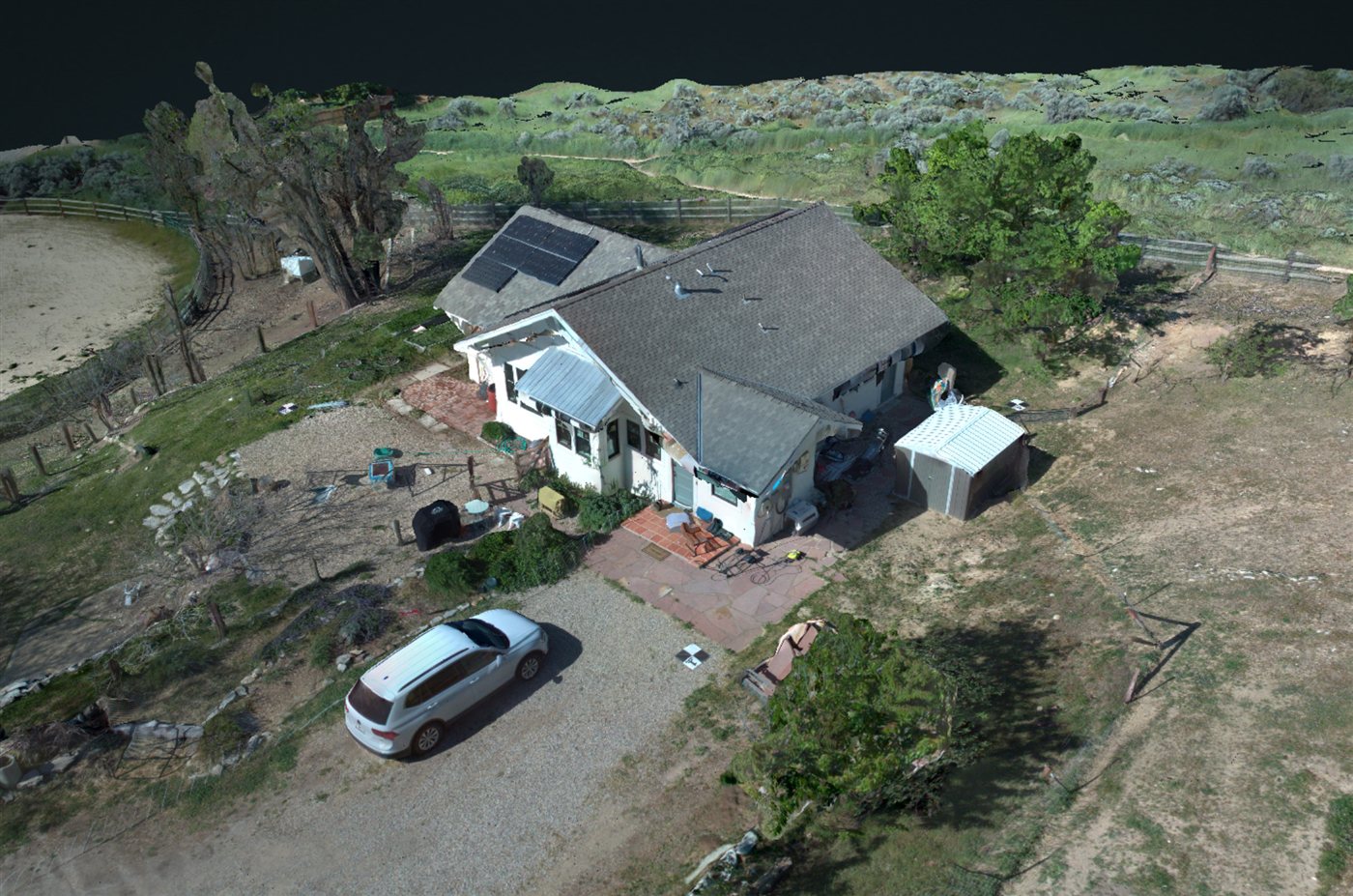
Digital Surface and Terrain Modeling
DSM and point cloud generation from photogrammetric processing. Delivered as GeoTIFF, LAZ/LAS, or 3D mesh. Provides aerial reference data to support licensed engineers and surveyors with site context, grading reference and existing-conditions assessment.
Aerial Video
4K video flyovers for site walkthroughs, construction progress, and property documentation. Useful for client presentations, stakeholder updates, and marketing. Planned flight paths with organized deliverables.
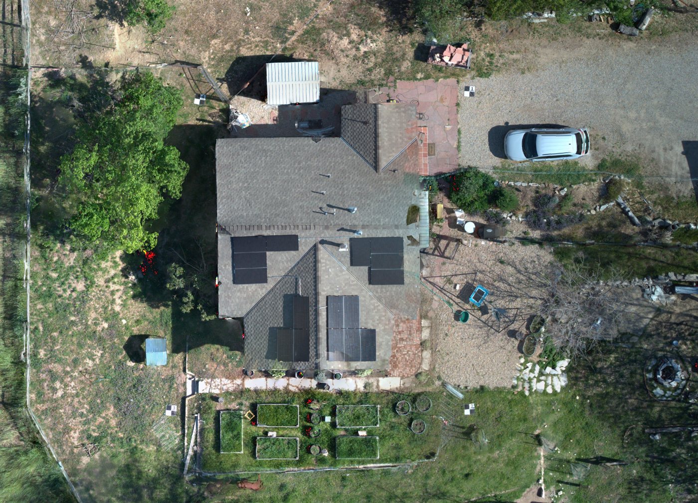
Roof and Exterior Inspection Imagery
High-resolution still photography and video of roofs, siding, chimneys, gutters, and hard-to-access exterior features. Provides visual documentation for licensed inspectors, insurance purposes, and pre-renovation condition reference, without ladders or lifts.
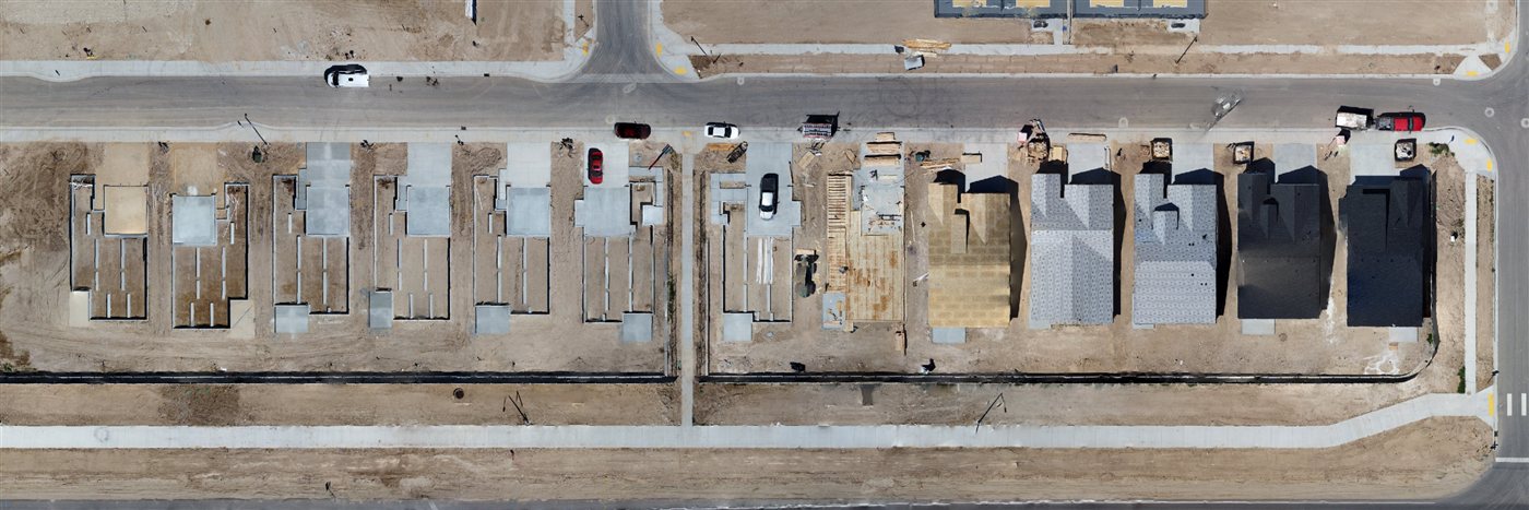
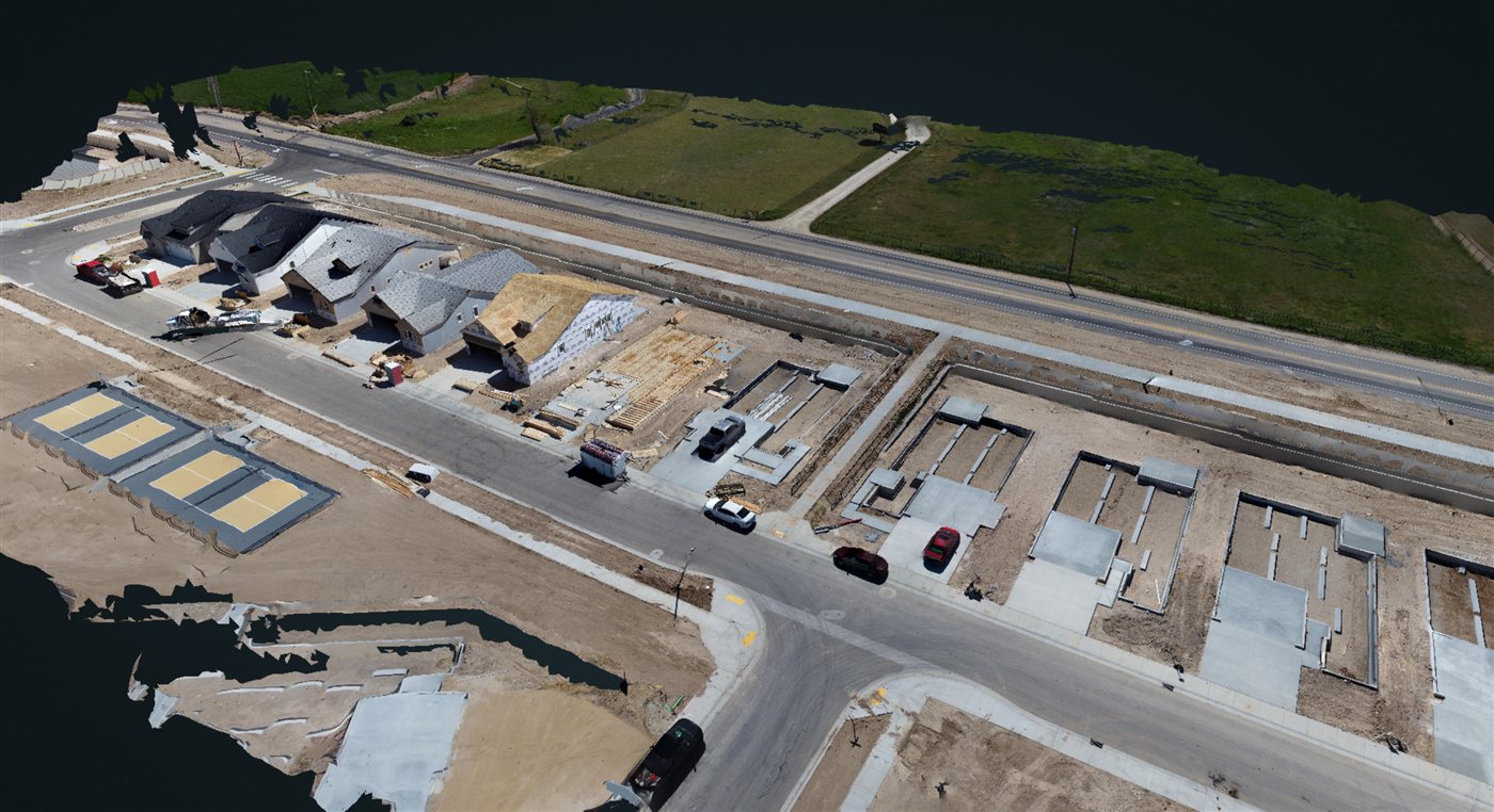
Construction Progress Documentation
Scheduled aerial coverage of active construction sites at any stage, from site prep through framing and finish. Repeatable flight paths for consistent before/after and phase-by-phase comparison. Organized deliverable packages for each visit.
Site and Property Documentation
Aerial stills and video for architectural reference and existing-conditions records. Useful for architects, designers, and engineers who need site context imagery before or during a project.